Geolocation (College Park)
Description
From the "Geolocation" series
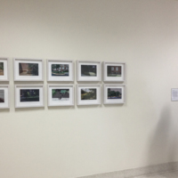
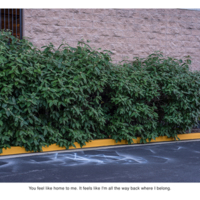
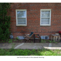
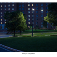
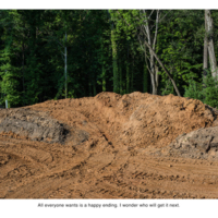
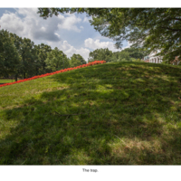
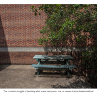
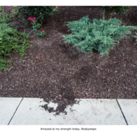
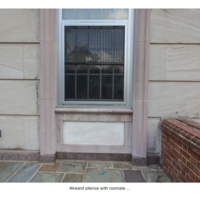
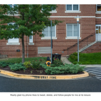
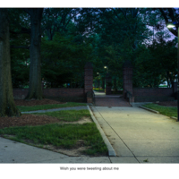
Nate Larson and Marni Shindelman are photographers and art educators who met and began collaborating in 2007. Projects in their “Geolocation” series begin on Twitter, where the artists use publicly available geotagging metadata to explore a particular city—in this case, College Park, MD—through the tweets generated there. Larson and Shindelman seek out updates that “reveal something about the personal nature of the users’ lives or the national climate, while also examining the relationship to physical space and the ways in which it influences online presence.” After making their selection, they visit the real world location from which each post was made and memorialize it with a photograph. Text and photo are printed together, anchoring that fleeting moment in one person’s existence to its digital expression and a physical place. The series explores issues of privacy, public safety, socialization, isolation, and the pace of technological change in contemporary life.
Nate Larson and Marni Shindelman are photographers and art educators who met and began collaborating in 2007. Projects in their “Geolocation” series begin on Twitter, where the artists use publicly available geotagging metadata to explore a particular city—in this case, College Park, MD—through the tweets generated there. Larson and Shindelman seek out updates that “reveal something about the personal nature of the users’ lives or the national climate, while also examining the relationship to physical space and the ways in which it influences online presence.” After making their selection, they visit the real world location from which each post was made and memorialize it with a photograph. Text and photo are printed together, anchoring that fleeting moment in one person’s existence to its digital expression and a physical place. The series explores issues of privacy, public safety, socialization, isolation, and the pace of technological change in contemporary life.
Creator
Nate Larson & Marni Shindelman
Date
2013
Rights
Courtesy of the artists
Original Format
Digital C-prints on canson Infinity Platine Fibre Rag Paper
Physical Dimensions
10 segments, each 11 x 14 inches; Installed: 55 x 28 inches
Citation
Nate Larson & Marni Shindelman, “Geolocation (College Park),” Contemporary Art Purchasing Program - Stamp Gallery, accessed June 1, 2025, https://contemporaryartumd.artinterp.org/omeka/items/show/72.

